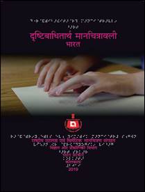
Indian scientists develop user-friendly Braille Maps
The maps produced using this technology can be used by more people for years together
THC Bureau | January 10, 2022 10:59 pm
PIB photo
Visually challenged students from all over the country will soon have the access to Braille Maps, thanks to the digital embossing technology, which has been designed and implemented for the first time in India by the National Atlas & Thematic Mapping Organisation (Natmo). Natmo functions as the Attached Office of the Department of Science & Technology (DST).
The digital embossing technology is a technology which eliminates the need for printing plates, moulds, chemicals, and solvents, thus dispensing with pollutants and reducing the overall energy usage, said a government press release.
The maps produced using this technology can be used by more people for years together. It has been experienced that the maps produced with earlier technology loses their readability and feeling experience within a very short span of time.
Primarily thematic maps are prepared on digital platforms using GIS technology. The hard copy products are then laminated with soft sheets. The soft laminated maps are placed onto the embossing digital devices with perfect registration for spot UV coating. Soft copy maps are masked in the area of interest for embossing. AI technology is used for 3D embossing to get the final Braille Maps. Complete map sets are bound spirally for the easy use of the visually impaired students.